Springer Nature
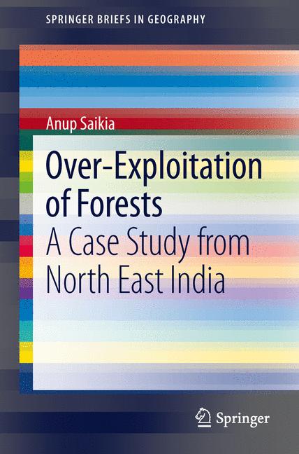
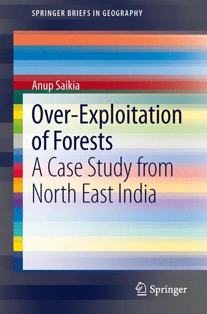
Over-Exploitation Of Forests
Miglior prezzo disponibile
54,99$
Springer Nature · Spedizione gratuita
VISAPayPal
Prezzi aggiornati
Specifiche
MarcaSpringer Nature
CondizioneNuovo
Descrizione
North east India is a global biodiversity hotspot but a quite understudied area. Forest loss has always been problematic in the area. Using Landsat satellite data from three periods (70s, 80s/90s and 2010s), forest loss is assessed in sample protected areas and other sites in the study area, processing is undertaken using image processing and standard GIS tools. The landscape metrics of selected sites are assessed using the widely used program FRAGSTATS. Drivers of forest loss are central in the discussion of the study.
Storico prezzi
Ricevi una notifica se il prezzo scende
Ti invieremo un'email quando il prezzo di questo prodotto diminuirà.
- Aggiornamenti dei prezzi in tempo reale
- Oltre 50 negozi monitorati
- Avvisi gratuiti di calo prezzo
- Solo negozi verificati
Avvisami quando il prezzo scende sotto: 54,99$
Prodotti simili
Una selezione di prodotti che potrebbero interessarti. Guarda tutti