Springer Nature
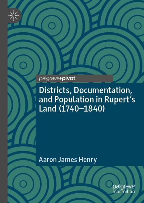
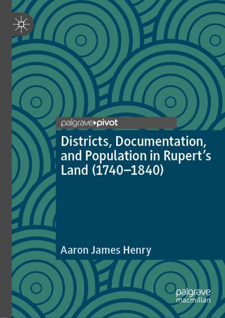
Districts, Documentation, And Population In RupertâS Land (1740â1840)
Miglior prezzo disponibile
46,00€
Springer Nature · Spedizione gratuita
VISAPayPal
Prezzi aggiornati
Specifiche
MarcaSpringer Nature
CondizioneNuovo
Descrizione
This book interrogates how districts were used in British North America to inspect, and document indigenous people by the Hudsonâs Bay Company (HBC). In particular, it examines how the HBC utilized districts to create a political geography that allowed for closer surveillance of indigenous people and stabilized debt. An initial examination of how the district was used to rework earlier 18th-century conducts of observation into the more ordered and spatially limited regime of inspection is undertaken, followed by an investigation of how the district became central to the HBCâs efforts to limit the movement of indigenous people, individualize hunters, and spur âindustriousnessâ. The book points to how districts became key to a number of colonial projects, laying the infrastructure for the modern reserve system in Canada. In this sense, the book provides a critical genealogy of how the command of space and social vision shaped Canadaâs colonial geography.
Storico prezzi
Ricevi una notifica se il prezzo scende
Ti invieremo un'email quando il prezzo di questo prodotto diminuirà.
- Aggiornamenti dei prezzi in tempo reale
- Oltre 50 negozi monitorati
- Avvisi gratuiti di calo prezzo
- Solo negozi verificati
Avvisami quando il prezzo scende sotto: 46,00€
Prodotti simili
Una selezione di prodotti che potrebbero interessarti. Guarda tutti