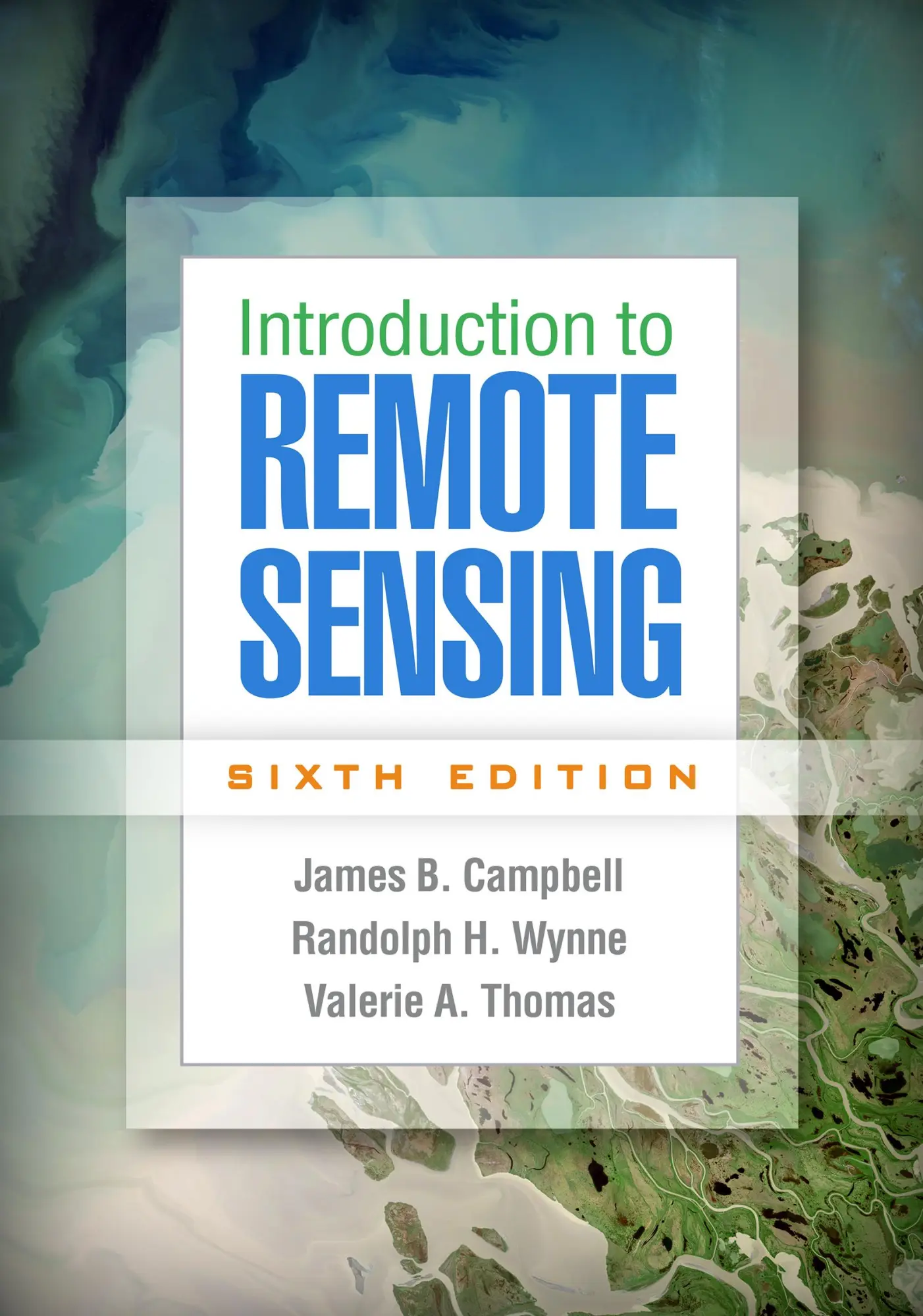




Introduction to Remote Sensing, Sixth Edition
Günstigster Gesamtpreis bei preigu.de
Kostenloser VersandLieferzeit: 7–14 Tage
Preisvergleich 2 Angebote verfügbar


Preise aktualisiert: 22. November 2026Diese Website nimmt am eBay Partner Network teil. Wir können eine Provision für qualifizierte Käufe erhalten, die über Links auf dieser Seite getätigt werden.
Preisverlauf
Spezifikationen
- Marke
- Guilford Publications
- EAN
- 9781462549405
Beschreibung
Now in full color, the sixth edition of this leading text features new chapters on remote sensing platforms (including the latest satellite and unmanned aerial systems), agriculture (including agricultural analysis via satellite imagery), and forestry (including fuel type mapping and fire monitoring). The book has introduced tens of thousands of students to the fundamentals of collecting, analyzing, and interpreting remotely sensed images. It presents cutting-edge tools and practical applications to land and water use analysis, natural resource management, climate change adaptation, and more. Each concise chapter is designed as an independent unit that instructors can use in any sequence. Pedagogical features include over 400 figures, chapter-opening lists of topics, case studies, end-of-chapter review questions, and links to recommended online videos and tutorials. New to This Edition Discussions of Landsat 8 and Sentinel-2, the growth of unmanned aerial systems, mobile data...